A History of Roads in 100 Maps
A History of Roads in 100 Maps
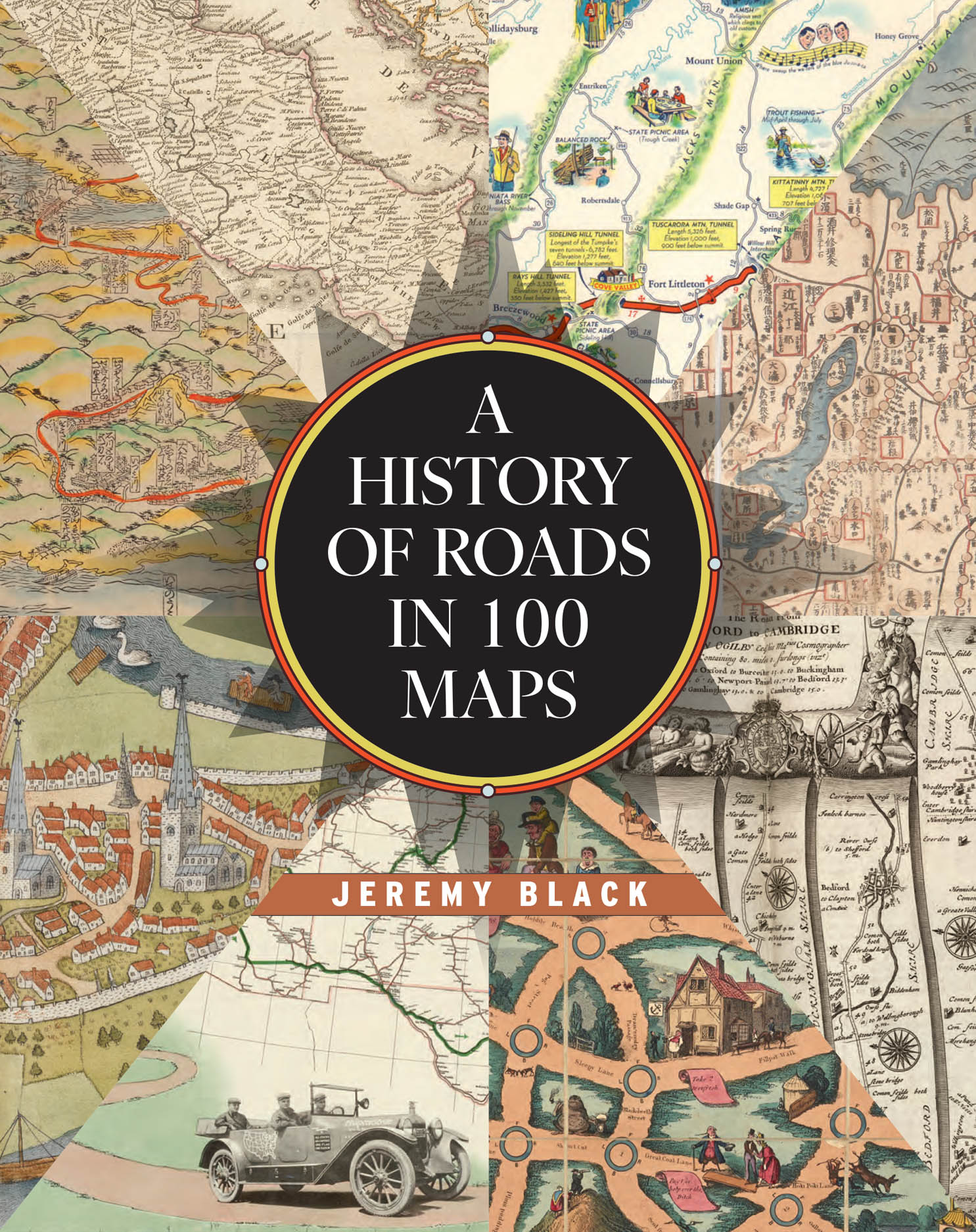
A beautifully illustrated, first-of-its-kind chronicle of road maps through the ages.
Road maps are the most common form of map that most of us regularly interact with while we all seek to find our way from here to there. Today, the digital maps on our devices are just the latest in a series of cartographic innovations designed to make transportation of people and goods easier and more predictable. Whether traveling on foot, in a vehicle, or by animal, people have long created and relied on roads, and efforts to map these overland routes predate the invention of the printing press. Yet the vast majority of road maps have been produced only within the last five hundred years—and even more specifically within the last century.
Historian Jeremy Black is the first to chart the tale of road maps, beginning with the "Peutinger Map," which illustrated the roads famously connecting the Roman Empire. From the time of antiquity, Black guides the reader through the centuries all the way to the modern age, when the invention of the automobile spurred the creation of roads and road maps like nothing before. Over the course of this journey, Black illuminates the integral role maps played in the development of government infrastructures through time and across all the inhabited continents. And, arriving in the present day, Black shows how technology may soon make the paper road map obsolete even as it builds on the conventions of the preceding centuries.
Featuring a series of full-color maps from the British Library’s collection and beyond, A History of Roads in 100 Maps is an eye-opening visual story of how modern civilizations traversed, constructed, and connected their worlds.
288 pages | 140 color plates | 8 3/4 x 11
Geography: Cartography
Guides, Manuals, and Reference: Cartography Reference
History: General History
Transportation: Automotive